 Industry 4.0
Trilogis has always been committed to creating IT management and improvement tools for all industrial companies that want to optimize productivity.
Information, communication and geography technologies (also indoors) have changed and will continue to change our lives.
They have also changed the management of the factory for the better.
Trilogis has created innovative software products, with which customers can easily reduce human errors, improve performance and save time.
The logistics and manufacturing sectors will be able to reap great benefits, placing technology at the service of mankind more and more.

ESRI ArcGIS platform has four main products: discover them.
ArcGIS for Desktop
ArcGIS for Server
ArcGIS Online
Web e Mobile App
In the world of GIS, ESRI’s ArcGIS platform has always been the main product for the management of geographic information (indoor/outdoor) and of the networks for the transport and distribution of gas, electricity, water and so on..
Used by many local and central “Multiutilities” and Smart Industries, it can now be considered a “de facto standard“. From single user to WEB applications, ArcGIS provides a scalable system that is dimensioned depending on the customer’s needs.
Trilogis is EPN – Esri Partner Network
 Thanks to the great GIS experience, Trilogis belongs to the “Esri Partner Network (EPN)“. It is the exclusive international partner program of Esri Inc., in collaboration with National Ditributors (EsriItalia spa).
With Trilogis, ESRI Users always have a competent and reliable partner alongside.
All trademarked logos and logos belong to their owners.
do You need more info?
![]()
TRAINING
Whatever is your GIS or WebGIS system, Trilogis organizes high-level training courses to suit your needs.
Our teachers have a proven experience and knowledge of the domain: they know what they are talking about.
Training can often come into the system’s start-up: this is how you learn by creating and using your own data (training on the job).
![]()
HELP DESK & ASSISTANCE
We work in partnership with you.
To stay daily at your side, we have an efficient Help Desk service ISO 9001 compliant.
Our service and maintenance customers can find answers to their small or big daily work problems.
We work with different levels of support: telephone, remote, on-site, etc.
Our infrastructure guarantees timely intervention times, speeds of remote connections and security/protection of the whole system.
![]()
SW DEVELOPMENT
Strong in the experience of countless tenders, projects, software developments, evolutionary maintenance, etc., our SW laboratories have accumulated a wealth of knowledge of wide development tools, deployed in many environments (desktop, client-server, web, mobile etc…).
But not only.
Our experience allows us to offer software development services that cover the entire project cycle, requirements analysis and feasibility study, up to implementation and subsequent maintenance and support.

TAILORED SYSTEMS
Complex Territorial Information Systems are made “orchestrating” other systems and integrating their data.
For this reason we know how to design and realize “tailor-made” systems tailored to the needs of those who use them.
Thanks to our DNA of innovators, we overcome the concept of simple “system integration” and expand it with the necessary “data integration” and “integration of applications”.
BUILDING GEO DATA
The real asset of the Geographic Information System are geographic and descriptive data.
GIS Data must be accurate, reliable and up-to-date.
The quality of answer that a system can give depends on the accuracy of data in the database.
A wrong one will produce incorrect information and, as in a chain, all other related information (cfr. GICO – Garbage In = Garbage Out).
Even in this delicate sector, Trilogis has a tremendous experience and extensive domain expertise to help you to realize your best DataBase.
![]()
CONSULTING AND SUPPORT
As an example:
-
RFId technologies and other identification technologies (barcode, QR-Code, magnetic stripe, etc.);
-
GIS video location systems related to video surveillance indoor/outdoor;
-
Support for CAD (AutoCad/AutoCadMap) and GIS (ArcGIS) integration;
-
Consultancy in the areas of LBS systems (Location Base Services) and RTLS systems (ZigBee, WiFi, ultra wideband, optical, etc.) and implementation of integrated systems.
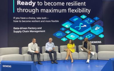
Trilogis at the Hannover Messe 2022
Trilogis at the Hannover Messe on May 31, 2022 at the SIEMENS stand. Our CTO ing. Federico Viani talks about digital transformation in industry with Markus Weinländer, Vice President SIEMENS Industrial Connectivity Products. CLICK ON THE IMAGE TO SEE THE TALK SHOW...
TRACCIA 5.0: read the article in the magazine “MANUFACTORING TECHNOLOGY INSIGHTS”
TRACCIA 5.0 extends what has been achieved in TRACCIA 4.0 to become a Cyber Physical Human System (CPHS) dedicated to tracking the assets of industrial processes. The system integrates innovative technologies for modeling and real-time navigation of indoor spaces,...
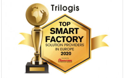
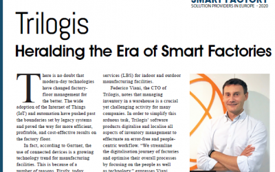
Trilogis is ranked in the “Top 10 Smart Factory solution providers in Europe 2020” according to the magazine “MANUFACTORING TECHNOLOGY INSIGHTS”
The magazine ranked Trilogis in the "Top 10 Smart Factory solution providers in Europe 2020", the 10 best companies in Europe of the year 2020 for software solutions at the service of the so-called "smart factories".Learn more about these issues by reading the...